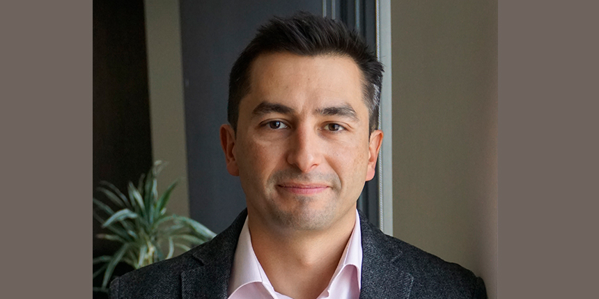
Amaury Camarena, M.Sc., P.Eng., grew up next to the ocean in Mexico’s Baja California state and even worked as a lifeguard, so you might say he’s been contemplating coastlines all his life. He now leads a team of 12 coastal professionals as Manager, Coastal Science and Engineering, at CBCL Limited in Halifax, NS. In this leadership role, he’s opening doors for more coastal engineers to enter the field and improve the resilience of Canada’s shoreline environments.
From Mexico to Canada (with a few stops in between)
Camarena’s journey from Mexico to Canada was far from a straight line. After completing his Bachelor of Civil Engineering at the Universidad Autonoma de Baja California, he received a scholarship from the European Union to do a master’s degree and spent time at universities in Norway, the Netherlands, and Spain while completing his coursework and thesis (with a trip to Argentina for research).
After graduation, Camarena worked for a company in the Netherlands and spent some time consulting in Brazil. In 2018, a Canadian friend invited him to apply for a coastal engineer job at CBCL. He got the job, moved to Halifax, and seven years later he’s still there, thinking about ways to solve complex coastline problems.
Modeling coastlines to inform infrastructure and development
Camarena says he and his team spend a lot of time conducting coastal studies, assessments and analysis to create coastal modeling frameworks that serve as the backbone of project work.
“Those generally involve understanding wave conditions, hydrodynamic conditions—currents, for example, and how those move, how the tides move, how extreme the water levels can be, sediment transport and morphology. That means how does the sand move around? How do the cliffs erode, or how do the bluffs change, or how do coastal dunes get eroded during storms?”
While most of the modeling that Camarena and his team do is computer-based, last year they got the opportunity to do some physical model testing at the National Research Council (NRC). Practically speaking, that meant building a cobble (gravel) beach in a giant swimming pool and making waves in it at various water levels.
“That was really exciting. We took a design project that we had developed based on the computer modeling and then we built it at scale at the research lab at NRC to be able to see how the waves changed, how the cobble moved, how the overtopping happened, and how much impact there was from flooding.”
One of the ways they use models is to inform the design of small craft harbours, which are plentiful in Atlantic Canada, serving the large local fishing industry. Camarena emphasizes that these harbours need to be properly designed and constructed in order to remain functional and safe.
“You need to know: How big are the waves inside the port? Does it flush correctly, or are you going to have stagnant water inside, and then you're going to have water quality problems?
Does it bring in sediment from adjacent sources to the harbour, and then you have issues with navigation? Thinking of all of those pieces is important, so you don't have to reinvest and keep upgrading the facilities.”
Managing and protecting coastlines: climate change and human development
In recent years, Canada’s coastlines have experienced some high-profile effects of climate change, including the toppling of Flowerpot Rock in the Bay of Fundy during a 2022 winter storm and the significant erosion of PEI’s sand dunes during Hurricane Fiona later that same year. As sea level rise and coastal erosion become more prevalent, Camarena and his team have increased their work in the area of coastal or shoreline management plans, in collaboration with environmental and social professionals and planners, to try and mitigate the risks.
“Having an understanding of what the coastal flood risks are helps people plan for development, for emergency management routes, for infrastructure upgrade decisions, and for floodproofing of existing infrastructure. We come up with frameworks that allow communities or provinces to best manage their coastlines: for example, to define setback distances or elevation recommendations, so nothing is built on certain zones, and the natural environment is respected.”
That work involves what are known as adaptation measures, which generally fall into two categories: traditional and nature-based. Camarena says he and his team are increasingly looking to implement hybrid solutions.
“It’s something that has a nature-based component, but also has a more traditional solution, like a breakwater, a revetment, a seawall. More and more we're trying to come up with those hybrid designs that bring more environmental and social value, but at the same time still provide the resilience that is needed to mitigate flooding and erosion and protect communities.”
The nature-based component of these adaptations must be tailored to the specific location and conditions, because what works in one spot may not be effective in another.
“In a sandy environment, you can do something; in a muddy environment, you can do something else. If there's really large waves, you are limited to a few options. If it's a more sheltered coastal environment, you can do other things. That's the interesting thing about coastal: it's hard to generalize a solution that works on X, Y, and Z. You might know the spectrum of what could work, but you always have to dive a little deeper to come up with those solutions.”
The Canadian Coastal Zone Information System: more coastal data, more analysis
A major project that Camarena and his team have been working on for the past couple of years is the Canadian Coastal Zone Information System (CCZIS). Based on an idea generated by Public Services and Procurement Canada in collaboration with Innovative Solutions Canada, the CCZIS aims to make coastal data more easily accessible to governments, consultants, and communities. It brings together large data sets on waves, water levels, sea level rise, ice, sediment characteristics, and coastal hazards which, prior to the system’s creation, had to be drawn from many distinct sources, a lengthy and complex undertaking.
“The Canadian Coastal Zone Information System does all of that processing and compilation of information, analyzes it, and then puts it together in a way that people with less of that high-end expertise in coastal can use it for planning, for preliminary design, or for scoping of their projects.”
The system will also include high-resolution models of Canada’s shorelines that include near-shore wave conditions, which can be used to inform and improve decision-making about shore development and protection.
“Generally, that information is only available offshore. Now, we are able to bring that information to within 100 or 200 meters of the shore. So it's quite an improvement.”
The CCZIS is still in development and the prototype is currently undergoing testing and review by a selected group of users. Camarena says they hope to make the system available for general use in the near future.
Looking ahead
Camarena hopes that going forward, the coastal engineering field will only continue to grow. His personal goal is to help open the right doors for others and facilitate that necessary growth.
“We need to build more expertise in Canada. There's a lot of need for good coastal management practices, coastal design practices, that are still not standardized enough in Canada. A big bucket list item of mine would be to help the community and experts in the field to drive that growth and knowledge-sharing and learning, so more people are interested and involved.”
More in this series

100 years of the iron ring: A symbol of an engineer’s commitment
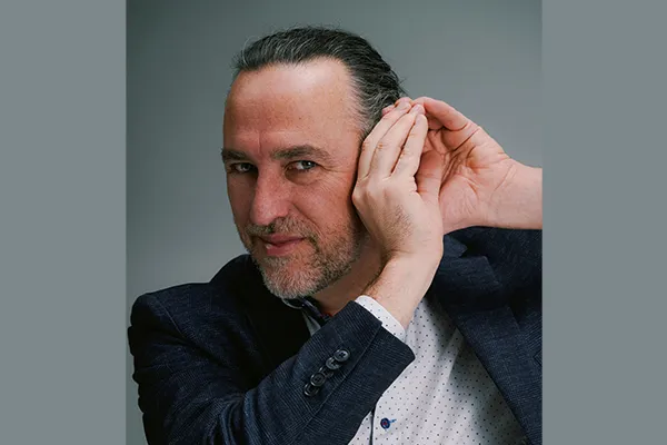
The engineering of sound: Applying AI in the acoustics of mining operations
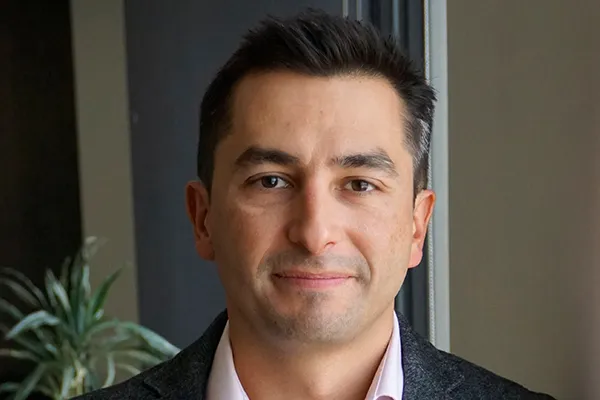
Amaury Camarena is using engineering to protect and preserve Canada’s coastal regions
